1. Chandolin: Tsapé
Chandolin, Valais, CH
Min Elevation
1979m
Max Elevation
2459m
Elevation Gain
490m
Elevation Loss
4m
Distance
3.0 km
Est. Time
1h20
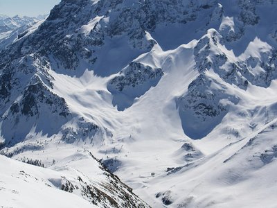
About this Track
Efficient climb leading to the Tsapé restaurant. The route offers little respite but magnificent views of the valley at every stage.
Location
- Country CH
- State/Region Valais
- City 3961 Chandolin
- Latitude 46.251937
- Longitude 7.597917
Photos
Community Photos
Photos shared by community members
No community photos yet. Be the first to share!
Login to upload photosNo photos available for this track.
Additional Information
Parking: Tourist Office parking
Access: Starts at Chandolin Tourist Office
Safety: Be careful when crossing ski slopes
Source
View Original SourceContact Information
Val d'Anniviers Tourisme
ValaisTourism for the valley including Grimentz, Zinal, St-Luc, and Chandolin
Contact Details
-
Address Mission
3961 Vissoie
CH -
Phone +41 27 476 17 00
-
Email info@anniviers.ch
-
Website Visit Website
Elevation Profile
Loading elevation data...
Track Conditions
No condition reports yet. Be the first to report!