Brinzeï (La Daille)
Val d'Isère, Savoie, FR
Min Elevation
1798m
Max Elevation
2153m
Elevation Gain
343m
Elevation Loss
7m
Distance
2.2 km
Est. Time
-
About this Track
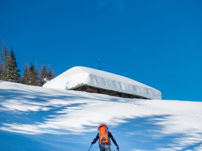
Ski touring itinerary (Espace Ski de Rando) located in the La Daille sector in Val d'Isère. The route crosses the Daille forest. It is also the site of the Avaline Trax, a renowned night race with 480m of positive elevation gain.
Location
- Country FR
- State/Region Savoie
- City 73150 Val d'Isère
- Latitude 45.461460
- Longitude 6.964150
Photos
Community Photos
Photos shared by community members
No community photos yet. Be the first to share!
Login to upload photosNo photos available for this track.
Additional Information
Parking: La Daille parking
Access: Start at the foot of the La Daille residence
Safety: Marked route. Check opening with the ski patrol (04 79 06 02 10). DVA, shovel and probe mandatory.
Source
View Original SourceContact Information
Contact Details
-
Phone +33 (0)4 79 06 06 60
-
Email info@valdisere.com
Elevation Profile
Loading elevation data...
Track Conditions
No condition reports yet. Be the first to report!