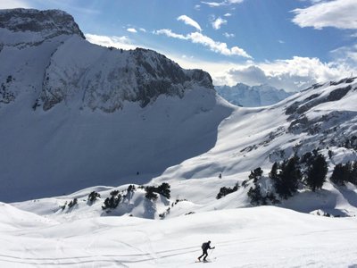
Ski touring route - Les Chalets de l'Arcelle
Val-Cenis, Savoie, FR
Min Elevation
1500m
Max Elevation
2090m
Elevation Gain
590m
Elevation Loss
-
Distance
-
Est. Time
1h30
About this Track
The route links the start of Val Cenis le Haut to the finish at Les Chalets de l'Arcelle. The descent is via the Arcelle red run (good level of skiing required). The route is marked with orange beacons and markers.
Location
- Country FR
- State/Region Savoie
- City 73480 Val-Cenis
- Latitude 45.289000
- Longitude 6.914000
Photos
Community Photos
Photos shared by community members
No community photos yet. Be the first to share!
Login to upload photosNo photos available for this track.
Additional Information
Parking: Val Cenis le Haut snow front
Access: Departure from Val Cenis le Haut, Lanslevillard
Safety: Mandatory safety equipment: transceiver, shovel, probe. Follow the orange markings.
Source
View Original SourceContact Information
Office de Tourisme de Haute Maurienne Vanoise
Auvergne-Rhône-AlpesTourism office for the Haute Maurienne valley
Contact Details
-
Address Place de l'Église
73480 Lanslebourg Mont-Cenis
FR -
Phone +33 (0)4 79 05 99 06
-
Email info@hautemaurienne.com
-
Website Visit Website
Track Conditions
No condition reports yet. Be the first to report!