La Montée du Chéry
Les Gets, Haute-Savoie, FR
Min Elevation
1172m
Max Elevation
1826m
Elevation Gain
654m
Elevation Loss
-
Distance
3.0 km
Est. Time
-
About this Track
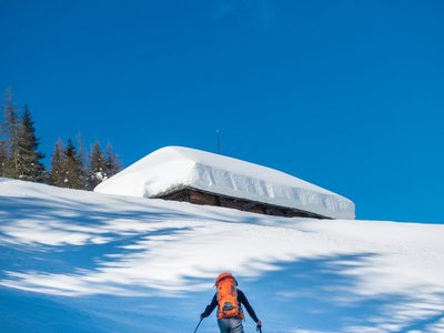
Starting from the village of Les Gets, at the bottom of the Cabri slope, follow the route to the summit of Mont Chéry, where you will enjoy a breathtaking view of the Mont Blanc range. Average gradient: 23%.
Location
- Country FR
- State/Region Haute-Savoie
- City 74260 Les Gets
- Latitude 46.160837
- Longitude 6.670059
Photos
Community Photos
Photos shared by community members
No community photos yet. Be the first to share!
Login to upload photosNo photos available for this track.
Additional Information
Parking: None
Access: Bottom of the Cabri slope
Safety: Subject to snow conditions.
Source
View Original SourceContact Information
Les Gets Tourisme
Haute-SavoieTourism Office for Les Gets in the Portes du Soleil
Contact Details
-
Address 89 Route du Front de Neige
74260 Les Gets
FR -
Phone +33 (0)4 50 74 74 74
-
Email lesgets@lesgets.com
-
Website Visit Website
Elevation Profile
Loading elevation data...
Track Conditions
No condition reports yet. Be the first to report!