Pra da Dzeu
Haute-Nendaz, Valais, CH
Min Elevation
1329m
Max Elevation
2195m
Elevation Gain
732m
Elevation Loss
9m
Distance
4.3 km
Est. Time
2h
About this Track
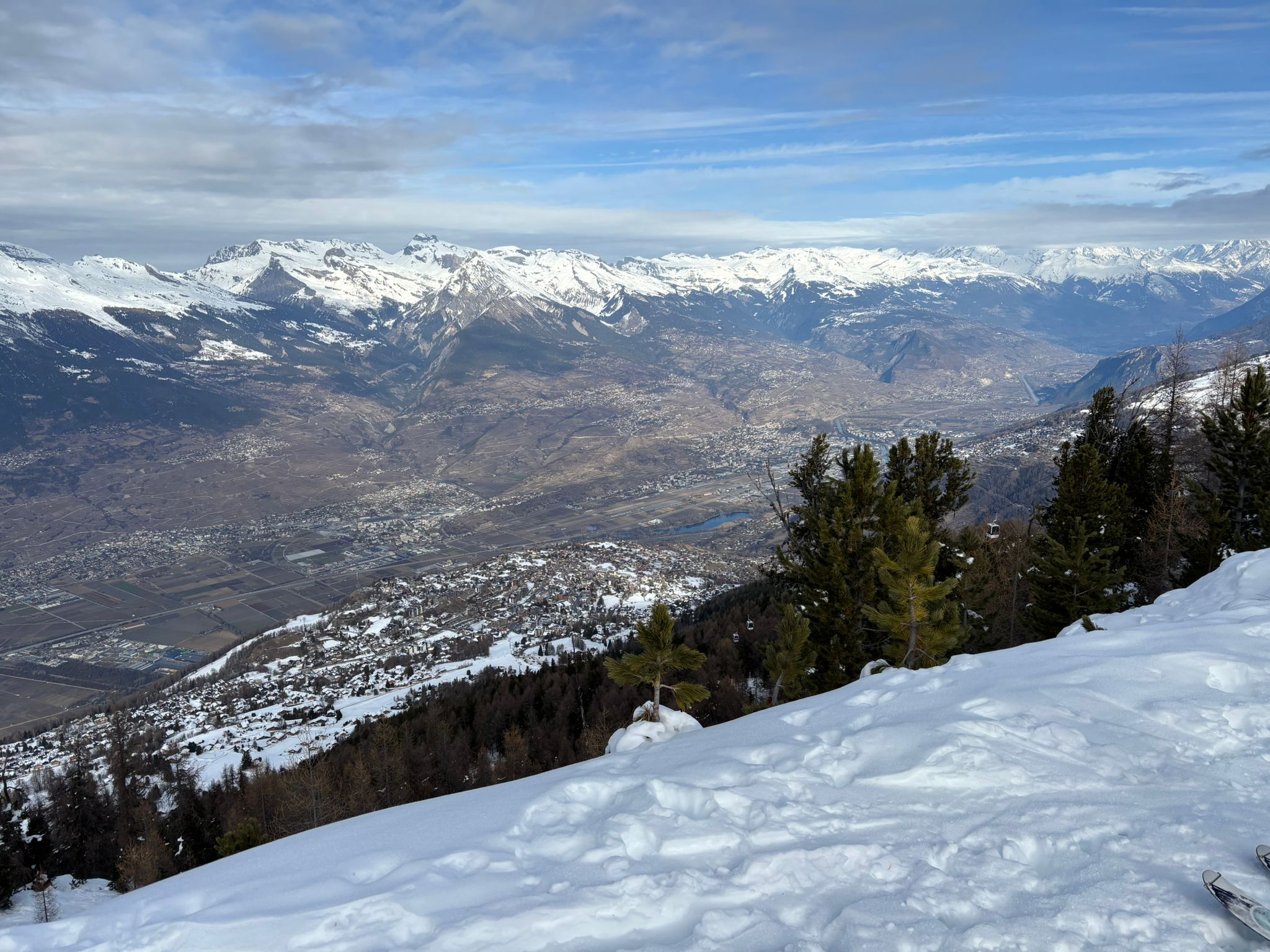
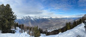
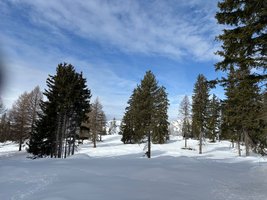
This route, starting from La Péroua, crosses the forest and the spacious magical clearing of Pra da Dzeu to take you to Tracouet. After this great effort, the reward is a stunning view over the Rhone Valley!
Location
- Country CH
- State/Region Valais
- City 1997 Haute-Nendaz
- Latitude 46.175606
- Longitude 7.273784
Photos
Official Photos 5 by Nendaz Tourisme

Nendaz Pra Da Dzeu Image 1
Nendaz Pra Da Dzeu Image 2
Nendaz Pra Da Dzeu Image 3
Nendaz Pra Da Dzeu Image 4
Nendaz Pra Da Dzeu Image 5
Community Photos
Photos shared by community members
No community photos yet. Be the first to share!
Login to upload photosAdditional Information
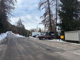
Access: Route de la Péroua, accessible by resort shuttle bus no 2
Safety: Look at the safety instructions before your departure.
Source
View Original SourceContact Information
Nendaz Tourisme
ValaisInformation center for the Haute-Nendaz and 4 Vallées region
Contact Details
-
Address Route de la Télécabine 1
1997 Haute-Nendaz
CH -
Phone +41 27 289 55 89
-
Email info@nendaz.ch
-
Website Visit Website
Elevation Profile
Loading elevation data...
Track Conditions
No condition reports yet. Be the first to report!