Sapin (The Fir Tree)
Ax-les-Thermes, Occitanie, FR
Min Elevation
1400m
Max Elevation
2018m
Elevation Gain
618m
Elevation Loss
-
Distance
1.7 km
Est. Time
2h
About this Track
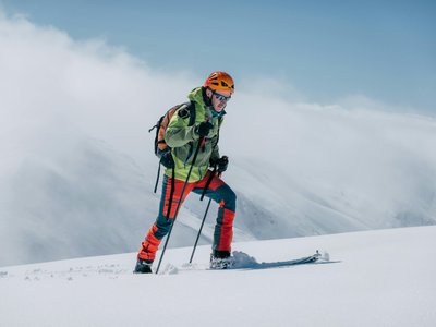
Explore the Sapin route, a 1.7 km climb through the fir trees. The start is at the bottom of the Sapin ski slope. The ascent is on the right of the slope, following the yellow markings to begin this winter adventure. Average slope: 20%.
Location
- Country FR
- State/Region Occitanie
- City 09110 Ax-les-Thermes
- Latitude 42.699121
- Longitude 1.812098
Photos
Community Photos
Photos shared by community members
No community photos yet. Be the first to share!
Login to upload photosNo photos available for this track.
Additional Information
Parking: Plateau de Bonascre (special equipment mandatory depending on conditions)
Access: Meet in front of the reception at the Freerando parc sign to start your ascent.
Safety: Marked route. Respect the recommended hours (9:00 AM - 5:00 PM) and safety instructions. Dogs strictly prohibited. Consult the opening bulletin. Emergency: +33 5 61 05 40 31.
Source
View Original SourceContact Information
Contact Details
-
Address Station Ax 3 Domaines
09110 Ax-les-Thermes
FR -
Phone +33 5 61 64 20 06
-
Email contact@ax-ski.com
-
Website Visit Website
Track Conditions
No condition reports yet. Be the first to report!