3. St-Luc: Mars
Saint-Luc, Valais, CH
Min Elevation
1975m
Max Elevation
2352m
Elevation Gain
376m
Elevation Loss
7m
Distance
2.4 km
Est. Time
1h05
About this Track
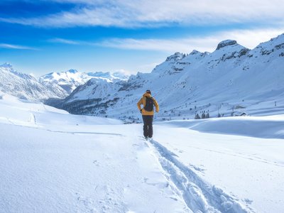
An easy route between forest and mountain huts, leading to the Bella Tola Hut. The first part offers the freshness of the woods before a spectacular view.
Location
- Country CH
- State/Region Valais
- City 3961 Saint-Luc
- Latitude 46.226492
- Longitude 7.604084
Photos
Community Photos
Photos shared by community members
No community photos yet. Be the first to share!
Login to upload photosNo photos available for this track.
Additional Information
Parking: Bella Tola parking available
Access: Starts near the Forêt chairlift ticket office
Safety: Follow the path to protect the Black Grouse
Source
View Original SourceContact Information
Val d'Anniviers Tourisme
ValaisTourism for the valley including Grimentz, Zinal, St-Luc, and Chandolin
Contact Details
-
Address Mission
3961 Vissoie
CH -
Phone +41 27 476 17 00
-
Email info@anniviers.ch
-
Website Visit Website
Elevation Profile
Loading elevation data...
Track Conditions
No condition reports yet. Be the first to report!