La Chaulée Neuve Rando-Parc
Les Marécottes, Valais, CH
Min Elevation
1783m
Max Elevation
2198m
Elevation Gain
440m
Elevation Loss
13m
Distance
2.6 km
Est. Time
-
About this Track
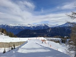
Blue Track route from la Creusaz restaurant to Le Vlard chairlift arrival, via Eau Neuve. The route can be extended by linking with the lower chaulée.
Location
- Country CH
- State/Region Valais
- City 1923 Les Marécottes
- Latitude 46.118011
- Longitude 6.993586
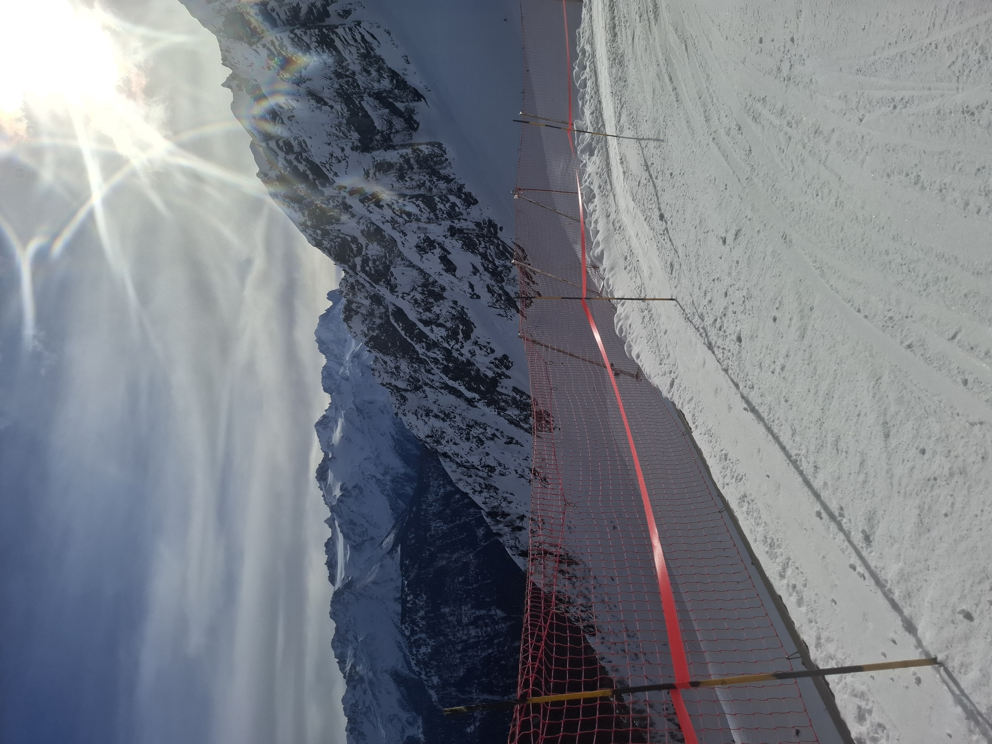
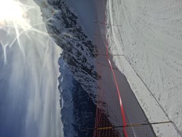
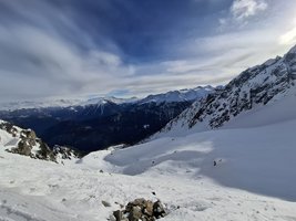
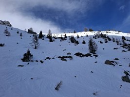
Photos
Official Photos 8 by VerticAlp Vallée du Trient SA
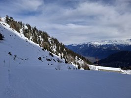
Lachuleeneuvemarcottes Image 1
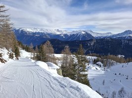
Lachuleeneuvemarcottes Image 2
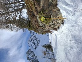
Lachuleeneuvemarcottes Image 3
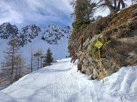
Lachuleeneuvemarcottes Image 4
Lachuleeneuvemarcottes Image 5
Lachuleeneuvemarcottes Image 6
Lachuleeneuvemarcottes Image 7
Lachuleeneuvemarcottes Image 8
Community Photos
Photos shared by community members
No community photos yet. Be the first to share!
Login to upload photosAdditional Information
Access: La Creusaz Restaurant
Safety: Mountain route, IT IS NEITHER MARKED NOR SECURED. It is recommended to be accompanied by a mountain guide.
Source
View Original SourceContact Information
Operator of the unique funicular and train experience in the Trient valley
Contact Details
-
Address Route du Châtelard 6
1925 Le Châtelard VS
CH -
Phone +41 27 761 31 02
-
Email info@verticalp-vt.ch
-
Website Visit Website
Elevation Profile
Loading elevation data...
Track Conditions
No condition reports yet. Be the first to report!