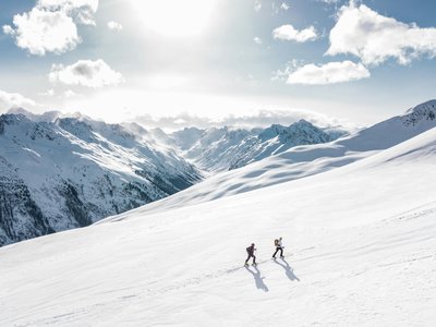
La Croix de Chamrousse from Bachat-Bouloud
Chamrousse, Isère, FR
Min Elevation
1734m
Max Elevation
2247m
Elevation Gain
513m
Elevation Loss
-
Distance
-
Est. Time
-
About this Track
Ascent to the Croix de Chamrousse starting from the Bachat-Bouloud sector. A classic resort route, very popular with locals for training.
Location
- Country FR
- State/Region Isère
- City 38410 Chamrousse
- Latitude 45.104880
- Longitude 5.876520
Photos
Community Photos
Photos shared by community members
No community photos yet. Be the first to share!
Login to upload photosNo photos available for this track.
Additional Information
Parking: Chamrousse 1700 - Bachat Bouloud
Access: Start Bachat-Bouloud
Safety: Consult BRA and slope openings.
Source
View Original SourceContact Information
Chamrousse Tourisme
Auvergne-Rhône-AlpesOffice of Tourism for the Chamrousse ski resort, near Grenoble
Contact Details
-
Address 42 place de Belledonne
38410 Chamrousse
FR -
Phone +33 4 76 89 92 65
-
Email info@chamrousse.com
-
Website Visit Website
Elevation Profile
Loading elevation data...
Track Conditions
No condition reports yet. Be the first to report!