La montée des Platières - Flaine
Flaine, Haute-Savoie, FR
Min Elevation
2194m
Max Elevation
2478m
Elevation Gain
314m
Elevation Loss
46m
Distance
2.3 km
Est. Time
-
About this Track
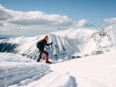
Ski touring uphill route from Aup de Veran to the summit of Platières. From the top of the Aup de Veran gondola, reach the start of the Lindars chairlift. Climb to the left of the 'Fred' red slope to the pass. At the pass, continue straight to reach the Col du Coloney. Follow the 'Méphisto Supérieur' slope to the summit of Platières.
Location
- Country FR
- State/Region Haute-Savoie
- City 74300 Flaine
- Latitude 45.985190
- Longitude 6.706270
Photos
Community Photos
Photos shared by community members
No community photos yet. Be the first to share!
Login to upload photosNo photos available for this track.
Additional Information
Parking: None
Access: Top of the Aup de Veran gondola
Safety: Route marked in orange. Safety equipment recommended (transceiver, shovel, probe). Consult the Avalanche Risk Bulletin.
Source
View Original SourceContact Information
Contact Details
-
Phone +33 (0)4 50 90 80 01
-
Email welcome@flaine.com
Elevation Profile
Loading elevation data...
Track Conditions
No condition reports yet. Be the first to report!