Le Sonalon - La Croix de Coeur
Verbier, Valais, CH
Min Elevation
1761m
Max Elevation
2171m
Elevation Gain
416m
Elevation Loss
10m
Distance
3.4 km
Est. Time
1h15
About this Track
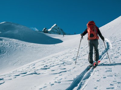
An easy and sunny route linking the heights of Verbier to the Croix de Coeur pass with a constant view of the Combin massif.
Location
- Country CH
- State/Region Valais
- City 1936 Verbier
- Latitude 46.108611
- Longitude 7.222927
Photos
Community Photos
Photos shared by community members
No community photos yet. Be the first to share!
Login to upload photosNo photos available for this track.
Additional Information
Parking: Free parking at Sonalon.
Access: Shuttle bus from Verbier center to Sonalon.
Safety: Shared route for hikers and skiers. Be careful.
Source
View Original SourceContact Information
Verbier Tourisme
ValaisPrimary tourism office for the world-renowned resort of Verbier
Contact Details
-
Address Route de Verbier Station 61
1936 Verbier
CH -
Phone +41 27 775 38 88
-
Email info@verbiertourisme.ch
-
Website Visit Website
Elevation Profile
Loading elevation data...
Track Conditions
No condition reports yet. Be the first to report!