Marmotte
Vercorin, Valais, CH
Min Elevation
1871m
Max Elevation
2308m
Elevation Gain
450m
Elevation Loss
-
Distance
2.4 km
Est. Time
1h10
About this Track
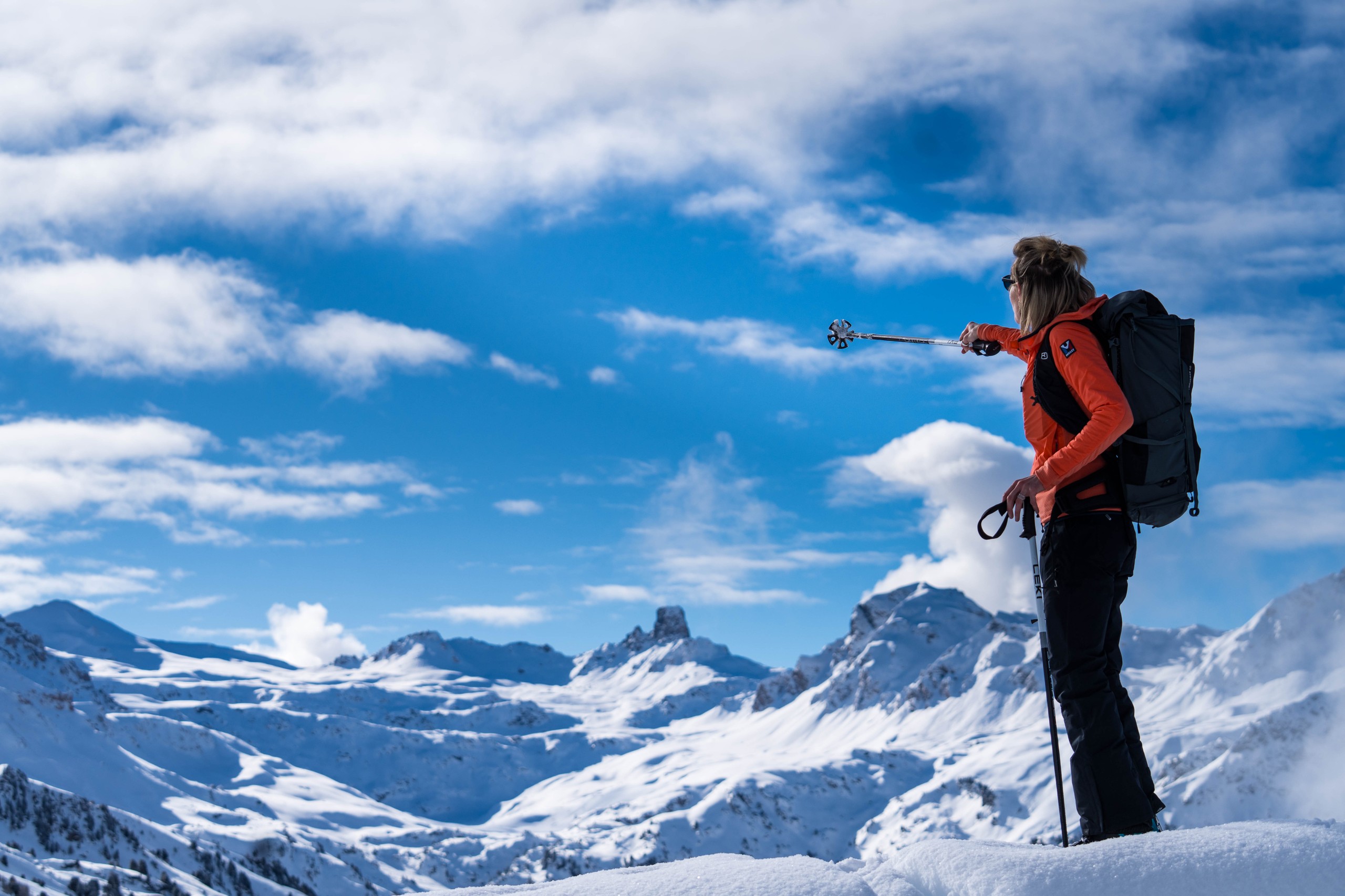
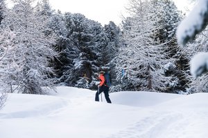
This path starts at the Sigeroulaz intermediate station and leads to Crêt du Midi. It crosses the forest and offers a manageable elevation gain with breathtaking views of the Vallon de Réchy.
Location
- Country CH
- State/Region Valais
- City 3967 Vercorin
- Latitude 46.240014
- Longitude 7.529017
Photos
Official Photos 3 by Vercorin Tourisme

Rando Parc Marmottes
Rando Parc Marmottes

Rando Parc Marmottes
Community Photos
Photos shared by community members
No community photos yet. Be the first to share!
Login to upload photosAdditional Information
Parking: Access via the gondola from Vercorin (parking in the village).
Access: Start at the Sigeroulaz intermediate gondola station.
There are two mountain restaurants along the way: the Etable restaurant at the Sigeroulaz intermediate station (at the start of the route) and the Crêt-du-Midi restaurant at the finish.
Safety: Follow the signs. Watch out for skiers when crossing slopes.
Source
View Original SourceContact Information
Vercorin Tourisme
ValaisTourism for the balcony village overlooking the Rhône valley
Contact Details
-
Address Place de la Télécabine
3967 Vercorin
CH -
Phone +41 27 455 58 55
-
Email info@vercorin.ch
-
Website Visit Website
Elevation Profile
Loading elevation data...
Track Conditions
No condition reports yet. Be the first to report!