Santa Maria
Vercorin, Valais, CH
Min Elevation
1463m
Max Elevation
2320m
Elevation Gain
857m
Elevation Loss
-
Distance
4.9 km
Est. Time
2h40
About this Track
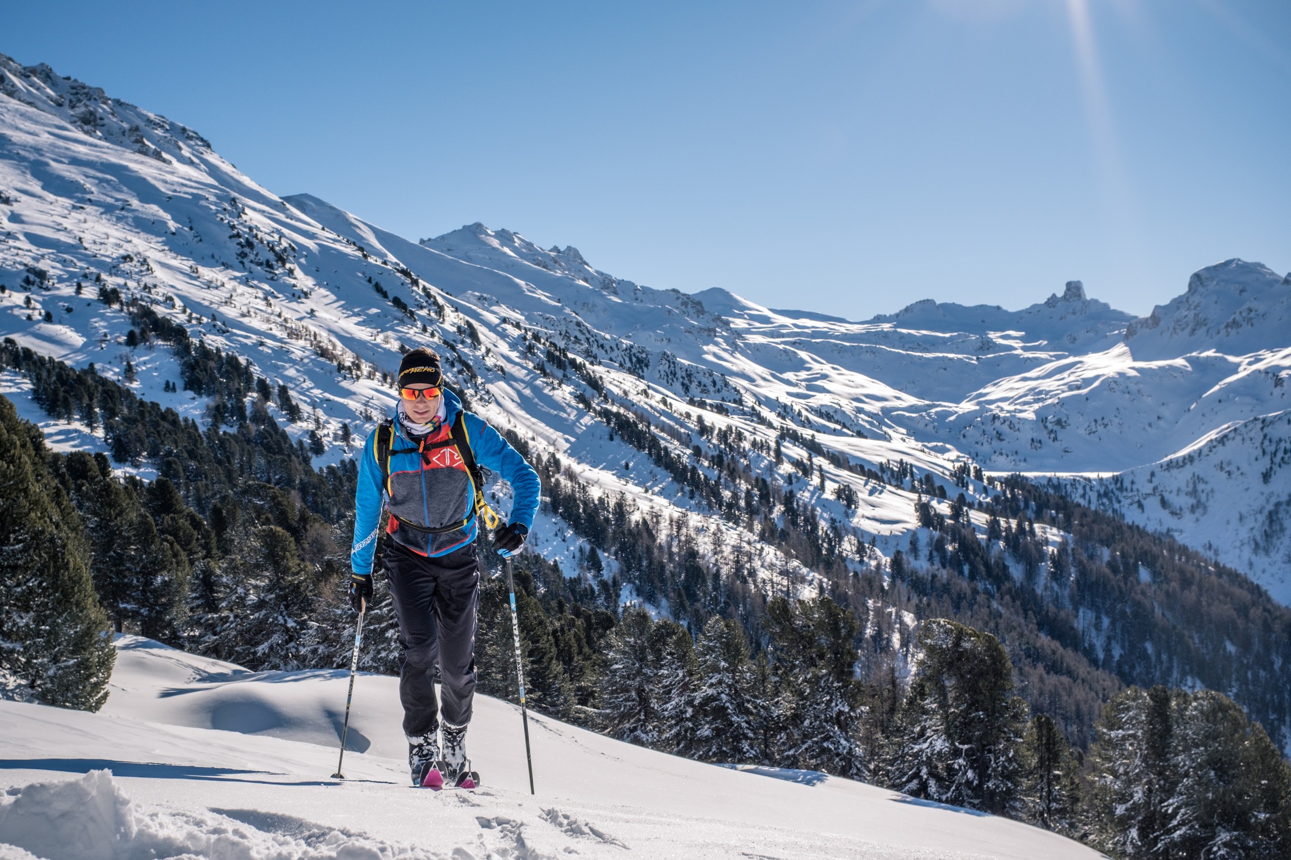
This ascent through the western sector reaches the summit of Crêt-du-Midi. A varied route between forest and clearings, offering views of Mont-Noble and the Maya. Very sunny in the afternoon.
Location
- Country CH
- State/Region Valais
- City 3967 Vercorin
- Latitude 46.248924
- Longitude 7.522480
Photos
Official Photos 1 by Vercorin Tourisme

Rando Parc Santa Maria
Community Photos
Photos shared by community members
No community photos yet. Be the first to share!
Login to upload photosAdditional Information
Parking: Parking in Vercorin village or Chalais cable car.
Access: Start at the departure of the old Sigeroulaz-Vercorin toboggan run. Go up the Route du Bisse towards Les Liches.
Refreshments: the Crêt-du-Midi mountain restaurant is located at the end of the route.
Safety: Route modified depending on conditions. Strictly follow the orange markers.
Source
View Original SourceContact Information
Vercorin Tourisme
ValaisTourism for the balcony village overlooking the Rhône valley
Contact Details
-
Address Place de la Télécabine
3967 Vercorin
CH -
Phone +41 27 455 58 55
-
Email info@vercorin.ch
-
Website Visit Website
Elevation Profile
Loading elevation data...
Track Conditions
No condition reports yet. Be the first to report!