Tracui
Vercorin, Valais, CH

Min Elevation
1321m
Max Elevation
2320m
Elevation Gain
1000m
Elevation Loss
-
Distance
5.8 km
Est. Time
2h50
About this Track
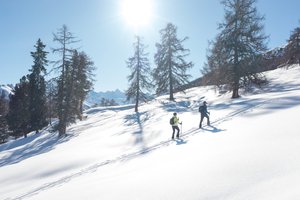
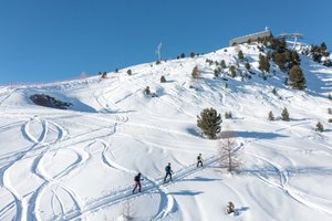
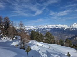
Leading to Crêt du Midi, this route allows you to discover the eastern part of the ski area. This medium difficulty climb will take you to the alpine pasture of Tracui. Double your efforts for the second part of the route, which features more technical challenges.
Location
- Country CH
- State/Region Valais
- City 3967 Vercorin
- Latitude 46.253607
- Longitude 7.534815
Photos
Official Photos 2 by Vercorin Tourisme
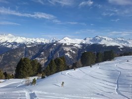
Rando Parc Tracui
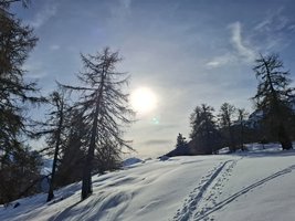
Rando Parc Tracui
Community Photos 5
Photos shared by community members

Additional Information
Parking: Paid parking at the Vercorin ski lifts or free parking in Chalais (cable car).
Access: At the arrival of the ski slopes, follow the signage along the road leading to the Val d'Anniviers.
Refreshments: The Arolles refreshment bar is located two-thirds of the way along the route, while the Crêt-du-Midi restaurant awaits you at the end of the route.
Safety: Marked but unsecured route. Individual responsibility. No descent outside operating hours.
Source
View Original SourceContact Information
Vercorin Tourisme
ValaisTourism for the balcony village overlooking the Rhône valley
Contact Details
-
Address Place de la Télécabine
3967 Vercorin
CH -
Phone +41 27 455 58 55
-
Email info@vercorin.ch
-
Website Visit Website
Elevation Profile
Loading elevation data...
Track Ratings
Based on 1 review
Reviews 1
Aurelie
Track Conditions
No condition reports yet. Be the first to report!