Villars – Chaux Ronde
Villars-sur-Ollon, Vaud, CH
Min Elevation
1349m
Max Elevation
1976m
Elevation Gain
655m
Elevation Loss
27m
Distance
5.4 km
Est. Time
2h45
About this Track
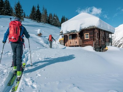
Starting from Rochegrises in Villars, discover Chaux-Ronde with a superb intermediate level ski touring route, via the golf course and Bretaye. Your route begins on the Col de la Croix road, along the cross-country ski trail. After about 1.5 km, turn left and climb towards the Golf, leaving the Col de Soud on your left.
Location
- Country CH
- State/Region Vaud
- City 1884 Villars-sur-Ollon
- Latitude 46.292550
- Longitude 7.065840
Photos
Community Photos 2
Photos shared by community members
Additional Information
Parking: Car parks in Villars
Access: Departure from Rochegrises in Villars. Access to the Golf by the Villars-Bretaye train if snow is insufficient.
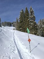
Safety: Marked but unsecured routes. Descents are closed outside operating hours (5:00 PM - 8:30 AM). Danger to life: grooming machines with winch cables in use.
Source
View Original SourceContact Information
Contact Details
-
Phone +41 24 495 32 32
-
Email info@villars.ch
Elevation Profile
Loading elevation data...
Track Ratings
Based on 1 review