Zirbenroas – Graukogel
Bad Gastein, Salzburg, AT
Min Elevation
1477m
Max Elevation
1950m
Elevation Gain
477m
Elevation Loss
-
Distance
2.2 km
Est. Time
1h
About this Track
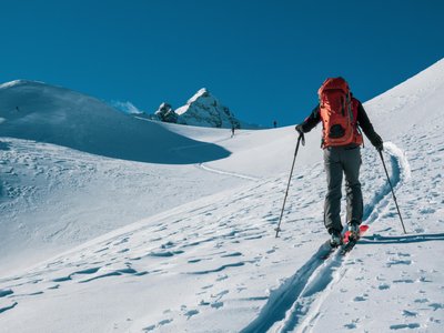
The route leads through a light stone pine forest (Zirbenwald) after the middle station of the Graukogel lift. The trail is well-laid and climbs towards the Graukogelhütte. Ascents are also possible on certain full moon evenings.
Location
- Country AT
- State/Region Salzburg
- City 5640 Bad Gastein
- Latitude 47.111422
- Longitude 13.150635
Photos
Community Photos
Photos shared by community members
No community photos yet. Be the first to share!
Login to upload photosNo photos available for this track.
Additional Information
Parking: Middle station of the Graukogellift, Bad Gastein
Access: Access via Graukogellift I (included in the pass)
Safety: Permitted only during slope opening hours. Valid ticket required.
Source
View Original SourceContact Information
Gasteiner Bergbahnen AG
SalzburgLift operator for the Gastein Valley ski area
Contact Details
-
Address Bundesstraße 567
5630 Bad Hofgastein
AT -
Phone +43 6432 6455
-
Email info@skigastein.com
-
Website Visit Website
Elevation Profile
Loading elevation data...
Track Conditions
No condition reports yet. Be the first to report!