10. Rookies-Bis (green)
Crans-Montana, Valais, CH
Min Elevation
1509m
Max Elevation
1745m
Elevation Gain
236m
Elevation Loss
4m
Distance
2.8 km
Est. Time
55min
About this Track
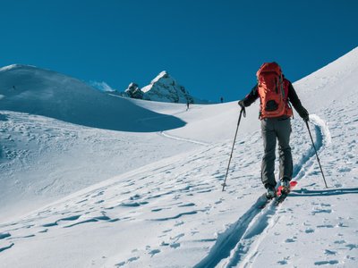
This green route is an easy itinerary, without difficulty and with low elevation gain, on the snow-covered road leading to Plumachit. The Crans-Montana rando park offers 17 ski touring routes (green, blue, red, black) covering over 40 km of marked and secured paths with a positive elevation gain of 8,000 meters.
Location
- Country CH
- State/Region Valais
- City 3963 Crans-Montana
- Latitude 46.320308
- Longitude 7.498437
Photos
Community Photos
Photos shared by community members
No community photos yet. Be the first to share!
Login to upload photosNo photos available for this track.
Additional Information
Parking: Barzettes-Violettes Parking, Route des Barzettes, 3963 Crans-Montana. 110 paid outdoor spaces, 411 paid indoor spaces.
Access: Accessible by train to Sierre, then SMC bus or funicular. Closest stop: Violettes (bus 431). By car via A9 motorway, exit Sierre east.
Safety: Check opening status at www.crans-montana.ch/etat. Routes are closed outside lift operating hours. Danger of death (winches, avalanches). Emergency: 144.
Source
View Original SourceContact Information
Tourism and event organization for the Crans-Montana plateau
Contact Details
-
Address Avenue de la Gare 3
3963 Crans-Montana
CH -
Phone +41 27 485 04 04
-
Email contact@crans-montana.ch
-
Website Visit Website
Elevation Profile
Loading elevation data...
Track Conditions
No condition reports yet. Be the first to report!