7. The Violette (red)
Crans-Montana, Valais, CH
Min Elevation
1508m
Max Elevation
2237m
Elevation Gain
729m
Elevation Loss
18m
Distance
4.0 km
Est. Time
2h02
About this Track
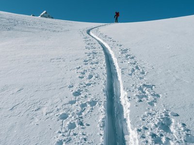
This is one of the most popular routes and a favorite among locals, a 'must do' of the Crans-Montana Rando Parc. This varied route, which uses original forest passages, allows you to discover untouched nature and offers a beautiful climb from the Barzettes parking lot to Les Violettes and its mountain restaurants.
Location
- Country CH
- State/Region Valais
- City 3963 Crans-Montana
- Latitude 46.320363
- Longitude 7.498480
Photos
Community Photos
Photos shared by community members
No community photos yet. Be the first to share!
Login to upload photosNo photos available for this track.
Additional Information
Parking: Barzettes-Violettes Parking. Route des Barzettes, 3963 Crans-Montana. Paid outdoor (110 spaces) and indoor (411 spaces) parking.
Access: Accessible via SMC bus (stop: Télé Violettes) from Sierre or SMC funicular. By car, take A9 exit Sierre Est, follow signs for Crans-Montana/Les Violettes.
Safety: Route open only during ski lift operating hours. Prohibited outside these hours (danger of death: snowcats with winches). SOS: 144.
Source
View Original SourceContact Information
Tourism and event organization for the Crans-Montana plateau
Contact Details
-
Address Avenue de la Gare 3
3963 Crans-Montana
CH -
Phone +41 27 485 04 04
-
Email contact@crans-montana.ch
-
Website Visit Website
Elevation Profile
Loading elevation data...
Track Conditions
No condition reports yet. Be the first to report!