Dranse – Vouardette
Liddes-Vichères, Valais, CH
Min Elevation
1275m
Max Elevation
2023m
Elevation Gain
856m
Elevation Loss
109m
Distance
6.4 km
Est. Time
2h15
About this Track
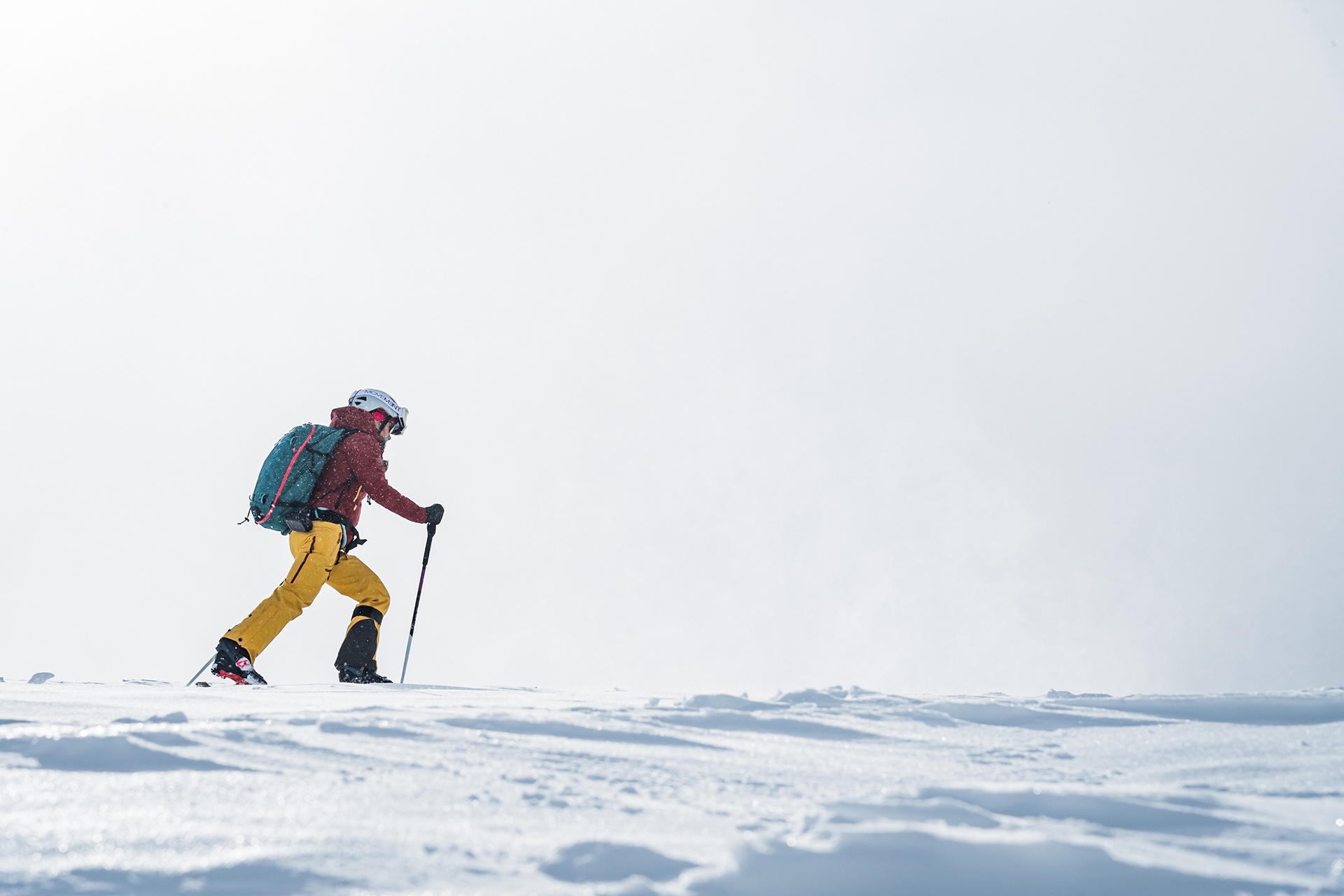
A challenging climb from the bottom of the valley up to the Bavon ridge!
From the hamlet of Dranse, you’ll pass the entrance to the Combe de l’A before joining blue trail no. 1 and then red trail no. 2.
From Dranse, head up through the meadows to reach the forest at a place called Tommelley before passing by the entrance to the Combe de l’A.
Then head north to join the blue trail, then west to join the red trail. Follow it southwards towards La Chaux before crossing the ski area to the north as far as the Bar des Neiges.
Location
- Country CH
- State/Region Valais
- City 1945 Liddes-Vichères
- Latitude 45.987027
- Longitude 7.183588
Photos
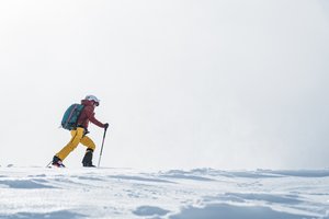
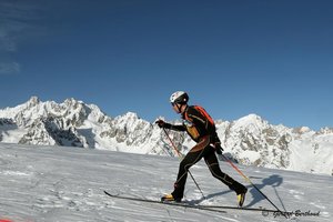
Official Photos 2 by Office du tourisme du Pays du St-Bernard
Dranse – Vouardette
Dranse – Vouardette
Community Photos
Photos shared by community members
No community photos yet. Be the first to share!
Login to upload photosAdditional Information
Leave the motorway at Martigny.
Follow signs for Grand-Saint-Bernard as far as Liddes.
Turn right after the tourist information centre to head down to Dranse.
Free car park next to the football pitch
Take the train to Orsières, then the bus to Dranse
Check timetables at www.cff.ch
Source
View Original SourceContact Information

Le Pays du St-Bernard est une société de développement (SD) regroupant les communes d’Orsières, Liddes et Bourg-St Pierre ainsi que 2 communes partenaires : Sembrancher et Bovernier. Ses tâches principales sont l’accueil/information/ animation ; la promotion/communication et l’administration/finances.
Contact Details
-
Address Route de la Gare 34
1937 Orsières
CH -
Phone +41 27 775 23 81
+41 27 775 23 83 -
Email info@saint-bernard.ch
-
Website Visit Website
Elevation Profile
Loading elevation data...
Track Conditions
No condition reports yet. Be the first to report!