Hochplatte (Option 2)
Achenkirch, Tyrol, AT
Min Elevation
-
Max Elevation
1797m
Elevation Gain
850m
Elevation Loss
5m
Distance
6.0 km
Est. Time
2h30
About this Track
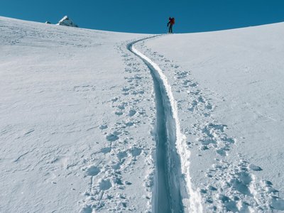
Tour on the sunny side with a long ascent on a forest road. The route climbs alongside the asphalt road in a northerly direction, then follows the forest road to the Bründlalm. From the Bründlalm, the trail becomes more scenic and leads towards the summit of the Hochplatte, offering beautiful views over the Achental valley.
Location
- Country AT
- State/Region Tyrol
- City 6215 Achenkirch
- Latitude 47.545400
- Longitude 11.698090
Photos
Community Photos
Photos shared by community members
No community photos yet. Be the first to share!
Login to upload photosNo photos available for this track.
Additional Information
Parking: Paid parking at Achental/Achenkirch
Access: Regional bus to Achenkirch, starting point Achental.
Safety: Standard winter tour equipment. Steep sections near the summit require care.
Source
View Original SourceContact Information
Achensee Tourismus
TirolTourism board for Tirol's largest lake in Austria
Contact Details
-
Address Achenseestraße 63
6212 Maurach am Achensee
AT -
Phone +43 5 95300-0
-
Email info@achensee.com
-
Website Visit Website
Elevation Profile
Loading elevation data...
Track Conditions
No condition reports yet. Be the first to report!