'La Jaune' Blue Trail (instruction track)
Morgins, Valais, CH
Min Elevation
1313m
Max Elevation
1900m
Elevation Gain
580m
Elevation Loss
21m
Distance
4.3 km
Est. Time
1h30
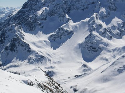
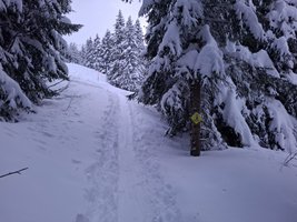
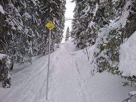
About this Track
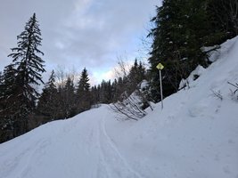
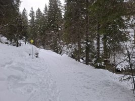
The iconic 'La Jaune' trail features a series of instruction signs to help teach you the basics of ski touring. Because it used to be a groomed ski run, 'La Jaune' is easy to access and is illuminated at night, making it the perfect trail for beginners.
Location
- Country CH
- State/Region Valais
- City 1875 Morgins
- Latitude 46.236570
- Longitude 6.856780
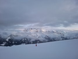
Photos
Community Photos 5
Photos shared by community members
Additional Information
Parking: Parking du 6 Août
Access: Place du 6 Août, next to the Church in Morgins
Safety: Educational signs along the trail explain ski mountaineering techniques.
Source
View Original SourceContact Information
Part of the Région Dents du Midi, focusing on Morgins and Portes du Soleil
Contact Details
-
Address Route de France 15
1875 Morgins
CH -
Phone +41 24 477 23 61
-
Email morgins@rddm.ch
-
Website Visit Website
Elevation Profile
Loading elevation data...
Track Ratings
Based on 2 reviews
Reviews 2
Aurelie
La fin du parcours, sous le restaurant, n'est pas très bien indiqué.
David
Track Conditions
No condition reports yet. Be the first to report!