La Tramadits
Adervielle-Pouchergues, Occitanie, FR
Min Elevation
1455m
Max Elevation
1604m
Elevation Gain
127m
Elevation Loss
-
Distance
0.7 km
Est. Time
-
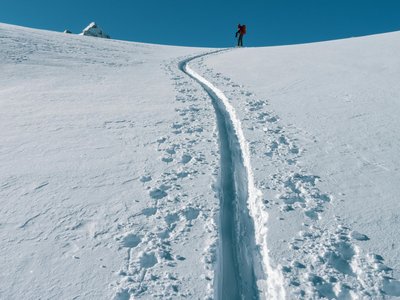
About this Track
The easiest ski touring route in Val Louron, perfect for beginners. Route marked with yellow signs. The descent is via the open alpine ski slopes.
Location
- Country FR
- State/Region Occitanie
- City 65510 Adervielle-Pouchergues
- Latitude 42.791090
- Longitude 0.387880
Photos
Community Photos
Photos shared by community members
No community photos yet. Be the first to share!
Login to upload photosNo photos available for this track.
Additional Information
Parking: Val Louron 1450 Station
Access: Val Louron 1450 Station - Rochers, Adervielle-Pouchergues • Col d'Azet, Azet
Safety: Route accessible only during ski area opening hours. Bring safety equipment (DVA, shovel, probe) and consult the Avalanche Risk Bulletin (BRA).
Source
View Original SourceContact Information
Contact Details
-
Phone +33 5 62 99 95 35
Elevation Profile
Loading elevation data...
Track Conditions
No condition reports yet. Be the first to report!