La Tzoumaz – Savoleyres
La Tzoumaz, Valais, CH
Min Elevation
1526m
Max Elevation
2343m
Elevation Gain
800m
Elevation Loss
28m
Distance
4.4 km
Est. Time
2h45
About this Track
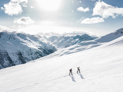
A trail for athletes leading to the highest point of Savoleyres via Chez Simon. Grand panorama of the Rhone Valley and the Combins massif.
Location
- Country CH
- State/Region Valais
- City 1914 La Tzoumaz
- Latitude 46.144707
- Longitude 7.233106
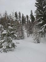
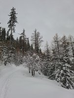
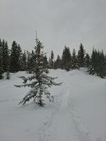
Photos
Community Photos 3
Photos shared by community members
Additional Information
Parking: Parking available in La Tzoumaz.
Access: Departure from the La Tzoumaz gondola lift.
Safety: Pay attention to the pink markings in winter.
Source
View Original SourceContact Information
Verbier Tourisme
ValaisPrimary tourism office for the world-renowned resort of Verbier
Contact Details
-
Address Route de Verbier Station 61
1936 Verbier
CH -
Phone +41 27 775 38 88
-
Email info@verbiertourisme.ch
-
Website Visit Website
Elevation Profile
Loading elevation data...
Track Ratings
Based on 1 review
Reviews 1
Aurelie
Les balises ne sont pas toujours faciles à voir. Parfois, nous nous sommes retrouvés sur la piste, ce n'était pas l'idéal.
Track Conditions
No condition reports yet. Be the first to report!