Le Chapelet
Liddes-Vichères, Valais, CH
Min Elevation
1572m
Max Elevation
1799m
Elevation Gain
232m
Elevation Loss
206m
Distance
2.9 km
Est. Time
1h10
About this Track
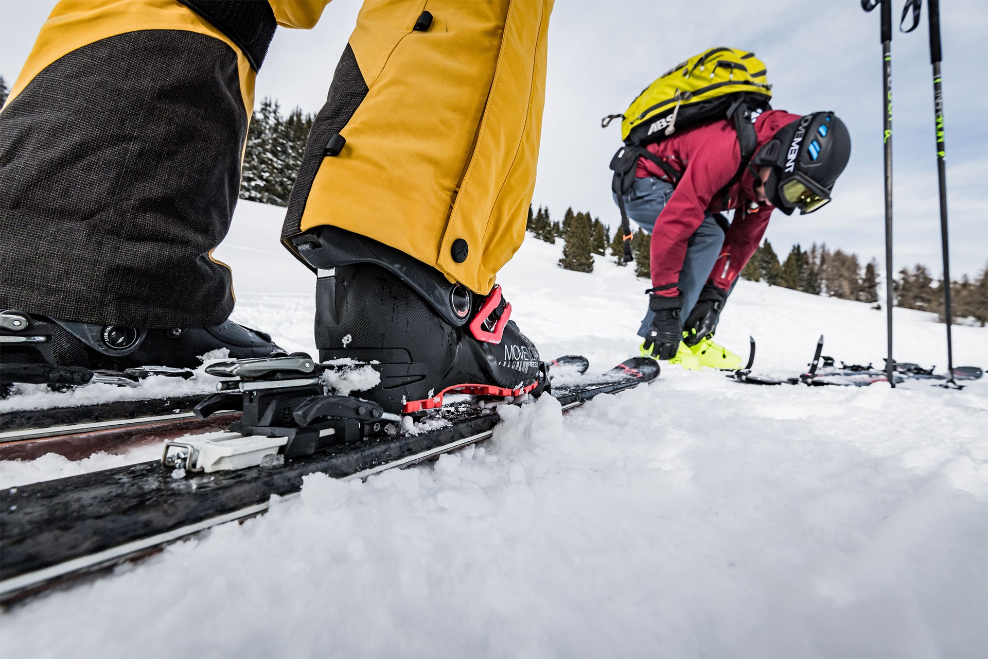
This route is ideal for getting started with ski touring!
Starting from the Combe de l’A, follow this easy blue-level loop, most of which runs through woodland.
First, walk back 100 metres with your skis on your back to reach the road leading to the start of the Combe de l’A. Put your skis on there and set off at a leisurely pace along the gently ascending forest road.
Then turn right towards the west, where this blue route joins the black run coming from Dranse. The gradient is a little steeper on this footpath, which takes you to the ski runs and passes beneath the chairlift.
Then remove your climbing skins and finish by skiing down the run, which will take you back to the chairlift departure point and the Chapelet restaurant.
Location
- Country CH
- State/Region Valais
- City 1945 Liddes-Vichères
- Latitude 45.989441
- Longitude 7.162176
Photos
Official Photos 1 by Office du tourisme du Pays du St-Bernard
Le Chapelet
Community Photos
Photos shared by community members
No community photos yet. Be the first to share!
Login to upload photosAdditional Information
Leave the motorway at Martigny.
Follow signs for Grand-Saint-Bernard as far as Liddes.
Turn right after the tourist information centre.
Head towards Dranse, then continue up to the Vichères-Liddes chairlift station.
Free parking at the ski lift station
Take the train to Orsières, then the bus to Vichères (winter only)
Check timetables at www.cff.ch
Source
View Original SourceContact Information
Le Pays du St-Bernard est une société de développement (SD) regroupant les communes d’Orsières, Liddes et Bourg-St Pierre ainsi que 2 communes partenaires : Sembrancher et Bovernier. Ses tâches principales sont l’accueil/information/ animation ; la promotion/communication et l’administration/finances.
Contact Details
-
Address Route de la Gare 34
1937 Orsières
CH -
Phone +41 27 775 23 81
+41 27 775 23 83 -
Email info@saint-bernard.ch
-
Website Visit Website
Elevation Profile
Loading elevation data...
Track Conditions
No condition reports yet. Be the first to report!