Easy
Not provided
Last checked: 03/04/2026 22:05
Les Balcons du Chéry
Les Gets, Haute-Savoie, FR
Min Elevation
1536m
Max Elevation
1826m
Elevation Gain
290m
Elevation Loss
-
Distance
2.7 km
Est. Time
-
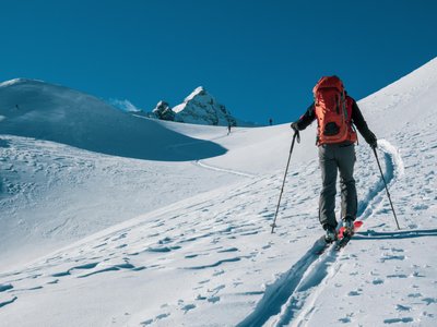
About this Track
From the arrival of the Mont Chéry gondola, follow this route to the summit of Mont Chéry. Average gradient: 11.5%.
Location
- Country FR
- State/Region Haute-Savoie
- City 74260 Les Gets
- Latitude 46.165483
- Longitude 6.658313
Photos
Community Photos
Photos shared by community members
No community photos yet. Be the first to share!
Login to upload photosNo photos available for this track.
Additional Information
Parking: None
Access: Top of the Mont Chéry gondola
Safety: Subject to snow conditions.
Source
View Original SourceContact Information
Les Gets Tourisme
Haute-SavoieTourism Office for Les Gets in the Portes du Soleil
Languages spoken
FR
EN
Contact Details
-
Address 89 Route du Front de Neige
74260 Les Gets
FR -
Phone +33 (0)4 50 74 74 74
-
Email lesgets@lesgets.com
-
Website Visit Website
Elevation Profile
Loading...
Loading elevation data...
Elevation data is not available for this track.
Track Conditions
Please sign in to report track conditions.
No condition reports yet. Be the first to report!
1 / 0