Les Ruinettes - Cabane Mont Fort
Verbier, Valais, CH
Min Elevation
2191m
Max Elevation
2455m
Elevation Gain
348m
Elevation Loss
42m
Distance
7.9 km
Est. Time
2h30
About this Track
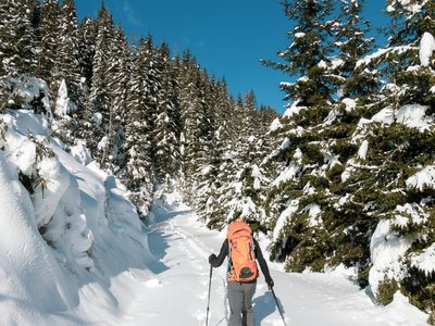
Discover this beautiful loop hike that takes you through rock falls to the enchanting La Chaux alpine pasture before climbing towards the legendary Cabane Mont-Fort.
Location
- Country CH
- State/Region Valais
- City 1936 Verbier
- Latitude 46.090985
- Longitude 7.253273
Photos
Community Photos
Photos shared by community members
No community photos yet. Be the first to share!
Login to upload photosNo photos available for this track.
Additional Information
Parking: Parking at the Le Châble or Verbier cable car stations.
Access: Access via Médran cable car to Les Ruinettes.
Safety: Mountain trail (white-red-white). Good hiking shoes recommended.
Source
View Original SourceContact Information
Verbier Tourisme
ValaisPrimary tourism office for the world-renowned resort of Verbier
Contact Details
-
Address Route de Verbier Station 61
1936 Verbier
CH -
Phone +41 27 775 38 88
-
Email info@verbiertourisme.ch
-
Website Visit Website
Elevation Profile
Loading elevation data...
Track Conditions
No condition reports yet. Be the first to report!