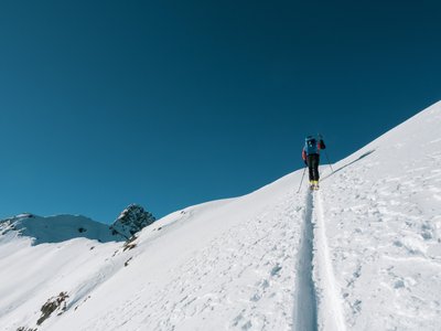
Les Saisies and the Mont Bisanne
Les Saisies, Savoie, FR
Min Elevation
1622m
Max Elevation
1929m
Elevation Gain
307m
Elevation Loss
1m
Distance
2.4 km
Est. Time
-
About this Track
Route located between Challiers and Bisanne. Starting point at the Gentianes ski lift. 3km track with 400m D+ mentioned in the local technical description. Panoramic view of the Aravis massif and Mont Blanc.
Location
- Country FR
- State/Region Savoie
- City 73620 Les Saisies
- Latitude 45.756430
- Longitude 6.529780
Photos
Community Photos
Photos shared by community members
No community photos yet. Be the first to share!
Login to upload photosNo photos available for this track.
Additional Information
Parking: Les Saisies
Access: Gentianes ski lift
Safety: Marked and secured track.
Source
View Original SourceContact Information
Contact Details
-
Phone +33 4 79 38 90 30
-
Email info@lessaisies.com
Elevation Profile
Loading elevation data...
Track Conditions
No condition reports yet. Be the first to report!