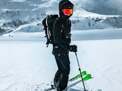
Eagle's Track
Montgenèvre, Hautes-Alpes, FR
Min Elevation
1849m
Max Elevation
2466m
Elevation Gain
782m
Elevation Loss
237m
Distance
-
Est. Time
3h
About this Track
Starting from the Tremplin chairlift, the first climb is in the heart of the larch forest. Then follow the Petite Doire valley to reach the Rocher de l'Aigle hut and continue on the track of the ancient lakes. From there, reach Lake Chausses to admire the view of the Ecrins then find the descent at the summit of the Rocher de l'Aigle.
Location
- Country FR
- State/Region Hautes-Alpes
- City 05100 Montgenèvre
- Latitude 44.929999
- Longitude 6.722351
Photos
Community Photos
Photos shared by community members
No community photos yet. Be the first to share!
Login to upload photosNo photos available for this track.
Additional Information
Parking: None
Access: Access to the start via the Tremplin chairlift.
Safety: Marked but unsecured routes. Check opening status (Avalanche risk). Consult the BERA.
Source
View Original SourceContact Information
Contact Details
-
Address Hameau de l'Obélisque
05100 Montgenèvre
FR -
Phone +33 (0)4 92 21 90 46
-
Email info@esf-montgenevre.com
-
Website Visit Website
Elevation Profile
Loading elevation data...
Track Conditions
No condition reports yet. Be the first to report!