Villars – Bretaye
Villars-sur-Ollon, Vaud, CH
Min Elevation
1304m
Max Elevation
1804m
Elevation Gain
531m
Elevation Loss
32m
Distance
5.2 km
Est. Time
2h15
About this Track
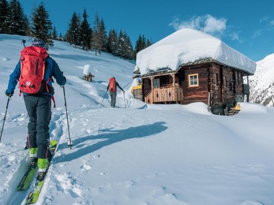
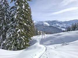
Your route begins on the Col de la Croix road, alongside the cross-country ski trail. After about 1.5 km, turn left and head uphill towards the golf course, leaving the Col de Soud on your left. After 3.5 km, a tasty break awaits you at the Restaurant du Golf. You’ll then reach the ski runs just before Bretaye. Continue on to Bretaye to complete your route. Before heading back down, take a moment to enjoy the view.
Location
- Country CH
- State/Region Vaud
- City 1884 Villars-sur-Ollon
- Latitude 46.294090
- Longitude 7.062290
Photos
Community Photos 2
Photos shared by community members
Additional Information
Car park: Car parks in Rochegrises near the Tennis Sports Centre. Then a 5-minute walk along the Route du Col de la Croix to the start.
Access: Departure from Rochegrises in Villars. Access to the Golf by the Villars-Bretaye train if snow is insufficient.
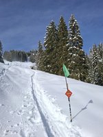
Safety: Marked but unsecured routes. Descents are closed outside operating hours (5:00 PM - 8:30 AM). Danger to life: grooming machines with winch cables in use.
Source
View Original SourceContact Information
Contact Details
-
Phone +41 24 495 32 32
-
Email info@villars.ch
Elevation Profile
Loading elevation data...
Track Ratings
Based on 1 review