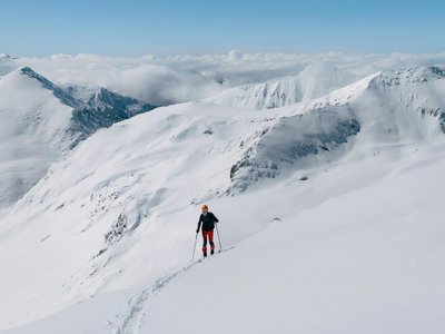
16. La Printanière (red)
Crans-Montana, Valais, CH
Min Elevation
1936m
Max Elevation
2259m
Elevation Gain
323m
Elevation Loss
33m
Distance
2.5 km
Est. Time
1h
About this Track
The Crans-Montana rando park features 17 ski touring routes (green, blue, red, black) over more than 40 km of marked and secured paths with a positive elevation gain of 8,000 meters.
Location
- Country CH
- State/Region Valais
- City 3963 Crans-Montana
- Latitude 46.324376
- Longitude 7.472362
Photos
Community Photos
Photos shared by community members
No community photos yet. Be the first to share!
Login to upload photosNo photos available for this track.
Additional Information
Parking: Parking available in Crans, Montana, or Aminona.
Access: Access via ski lifts during operating hours.
Safety: The trails are closed outside of ski lift operating hours. Danger of death (snowcats with winches). SOS: 144.
Source
View Original SourceContact Information
Tourism and event organization for the Crans-Montana plateau
Contact Details
-
Address Avenue de la Gare 3
3963 Crans-Montana
CH -
Phone +41 27 485 04 04
-
Email contact@crans-montana.ch
-
Website Visit Website
Elevation Profile
Loading elevation data...
Track Conditions
No condition reports yet. Be the first to report!