2. Chandolin: Illhorn
Chandolin, Valais, CH
Min Elevation
1978m
Max Elevation
2714m
Elevation Gain
736m
Elevation Loss
-
Distance
3.5 km
Est. Time
1h50
About this Track
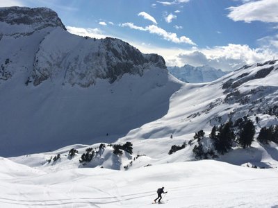
A demanding climb culminating at the summit of the Illhorn. The reward is a 360° panorama over the entire Rhone Valley.
Location
- Country CH
- State/Region Valais
- City 3961 Chandolin
- Latitude 46.251896
- Longitude 7.597831
Photos
Community Photos
Photos shared by community members
No community photos yet. Be the first to share!
Login to upload photosNo photos available for this track.
Additional Information
Parking: Parking in Chandolin village
Access: Follow signs for Cabane de l'Illhorn
Safety: Requires good physical condition
Source
View Original SourceContact Information
Val d'Anniviers Tourisme
ValaisTourism for the valley including Grimentz, Zinal, St-Luc, and Chandolin
Contact Details
-
Address Mission
3961 Vissoie
CH -
Phone +41 27 476 17 00
-
Email info@anniviers.ch
-
Website Visit Website
Elevation Profile
Loading elevation data...
Track Conditions
No condition reports yet. Be the first to report!