Frience (Alpe des Chaux) – Les Chaux
Gryon, Vaud, CH
Min Elevation
1557m
Max Elevation
1772m
Elevation Gain
219m
Elevation Loss
4m
Distance
1.1 km
Est. Time
45min
About this Track
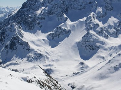
From the Frience car park, go up into the forest, then follow the left side of the Leurrins slope for 200m. Turn left then go up the forest track on the right. Then, climb to Les Chaux to arrive at the Gondola station where the view is magnificent.
Location
- Country CH
- State/Region Vaud
- City 1882 Gryon
- Latitude 46.290360
- Longitude 7.103043
Photos
Community Photos
Photos shared by community members
No community photos yet. Be the first to share!
Login to upload photosNo photos available for this track.
Additional Information
Parking: Frience parking available
Access: Access via Alpe des Chaux
Safety: Check the avalanche bulletin before leaving.
Source
View Original SourceContact Information
Local tourism office for the village of Gryon and the Villars-Gryon-Diablerets area
Contact Details
-
Address Place de la Barboleuse 11
1882 Gryon
CH -
Phone +41 24 498 00 00
-
Website Visit Website
Elevation Profile
Loading elevation data...
Track Conditions
No condition reports yet. Be the first to report!