Les Diablerets - Le Rachy
Les Diablerets, Vaud, CH
Min Elevation
1163m
Max Elevation
1428m
Elevation Gain
265m
Elevation Loss
339m
Distance
4.5 km
Est. Time
1h15
About this Track
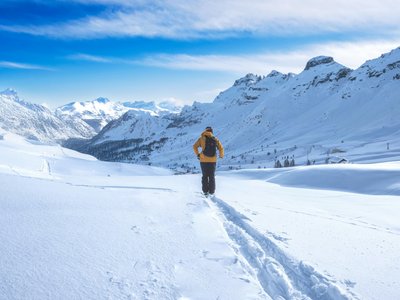
Route starting at the Meilleret bus stop. The path climbs gently towards the Rachy sector, offering a pleasant walk in the forest and on open plateaus before returning to the village.
Location
- Country CH
- State/Region Vaud
- City 1865 Les Diablerets
- Latitude 46.347713
- Longitude 7.155612
Photos
Community Photos
Photos shared by community members
No community photos yet. Be the first to share!
Login to upload photosNo photos available for this track.
Additional Information
Parking: Parking at the Meilleret chairlift start.
Access: Free shuttle bus in winter to Meilleret.
Safety: Pink marked trail (winter hiking).
Source
View Original SourceContact Information
Tourism services for Les Diablerets and Glacier 3000 region
Contact Details
-
Address Avenue de la Gare 2
1865 Les Diablerets
CH -
Phone +41 24 492 00 10
-
Email info@diablerets.ch
-
Website Visit Website
Elevation Profile
Loading elevation data...
Track Conditions
No condition reports yet. Be the first to report!