Léteygeon - Mandelon
Hérémence, Valais, CH
Min Elevation
1557m
Max Elevation
2071m
Elevation Gain
520m
Elevation Loss
5m
Distance
3.1 km
Est. Time
2h
About this Track
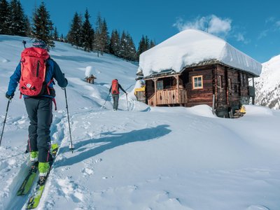
Ski touring ascent starting from Léteygeon to reach the Mandelon alpine pasture.
Location
- Country CH
- State/Region Valais
- City 1987 Hérémence
- Latitude 46.120790
- Longitude 7.393020
Photos
Community Photos
Photos shared by community members
No community photos yet. Be the first to share!
Login to upload photosNo photos available for this track.
Additional Information
Parking: Parking at Léteygeon.
Access: From Hérémence following the Val des Dix road to Léteygeon.
Safety: Avalanche safety equipment required: DVA, shovel, probe.
Source
View Original SourceContact Information
Saint-Martin Tourisme
ValaisTourist information for the authentic village of Saint-Martin in Val d'Hérens
Contact Details
-
Address Le Village
1984 Saint-Martin
CH -
Phone +41 27 281 24 74
-
Email info@saint-martin.ch
-
Website Visit Website
Social Media
Opening Hours
Elevation Profile
Loading elevation data...
Track Conditions
No condition reports yet. Be the first to report!