n°4 Pralovin
Vernamiège, Valais, CH
Min Elevation
1546m
Max Elevation
2073m
Elevation Gain
541m
Elevation Loss
14m
Distance
-
Est. Time
3h30
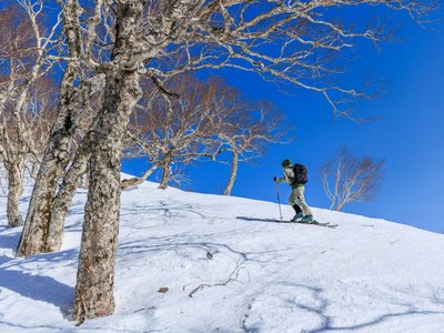
About this Track
The "Pralovin" route starts at Prarion and makes a first stop at the Buvette du Chiesso on the Télé Mont-Noble ski area.
Location
- Country CH
- State/Region Valais
- City 1961 Vernamiège
- Latitude 46.220428
- Longitude 7.435768
Photos
Community Photos
Photos shared by community members
No community photos yet. Be the first to share!
Login to upload photosNo photos available for this track.
Additional Information
Parking: Prarion car park in Vernamiège
Access: Prarion car park in Vernamiège
Safety: Strictly follow the route that bypasses a wildlife protection zone from the north.
Source
View Original SourceContact Information
Tourism for the Mont-Noble and Nax plateau
Contact Details
-
Address Place du Village
1973 Nax
CH -
Phone +41 27 203 17 38
-
Email nax-region@mont-noble.ch
-
Website Visit Website
Elevation Profile
Loading elevation data...
Track Conditions
No condition reports yet. Be the first to report!