Easy
Not provided
Last checked: 07/21/2026 18:05
Ski de randonnée Rathvel
Châtel-St-Denis, Fribourg, CH
Min Elevation
1236m
Max Elevation
1482m
Elevation Gain
253m
Elevation Loss
7m
Distance
1.0 km
Est. Time
1h
About this Track
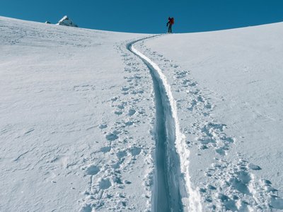
Magnificent route in the Rathvel region for all ski touring enthusiasts!
Location
- Country CH
- State/Region Fribourg
- City 1619 Châtel-St-Denis
- Latitude 46.545292
- Longitude 6.980002
Photos
Community Photos
Photos shared by community members
No community photos yet. Be the first to share!
Login to upload photosNo photos available for this track.
Additional Information
Access: Rathvel
Safety: Check that the ski area is open before descending.
Source
View Original SourceContact Information
Les Paccots – La Veveyse Tourisme
FribourgTourism office for the Pre-Alps region of Fribourg
Languages spoken
FR
DE
EN
Contact Details
-
Address Route de Col de Soudine 1
1619 Les Paccots
CH -
Phone +41 21 948 84 56
-
Email info@les-paccots.ch
-
Website Visit Website
Elevation Profile
Loading...
Loading elevation data...
Elevation data is not available for this track.
Track Conditions
Please sign in to report track conditions.
No condition reports yet. Be the first to report!
1 / 0