La Peymian marked ski touring route – Abriès
Abriès-Ristolas, Hautes-Alpes, FR
Min Elevation
1548m
Max Elevation
2016m
Elevation Gain
460m
Elevation Loss
5m
Distance
1.8 km
Est. Time
-
About this Track
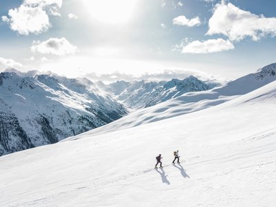
Starting from the Gilly chairlift, you climb via a marked but unsecured route called La Peymian and descend via the groomed blue (Roger Miegge) and red slopes.
Location
- Country FR
- State/Region Hautes-Alpes
- City 05460 Abriès-Ristolas
- Latitude 44.790890
- Longitude 6.930160
Photos
Community Photos
Photos shared by community members
No community photos yet. Be the first to share!
Login to upload photosNo photos available for this track.
Additional Information
Parking: Gilly chairlift
Access: Departure Abriès-Ristolas
Safety: Access prohibited during avalanche risk levels 4 and 5 and outside opening hours. Transceiver, shovel, probe mandatory.
Source
View Original SourceContact Information
Office de Tourisme du Guillestrois et du Queyras
Provence-Alpes-Côte d'AzurTourism Office for the Guillestrois and Queyras region
Contact Details
-
Address Maison du Tourisme
05350 Château-Ville-Vieille
FR -
Phone +33 4 92 46 76 18
-
Website Visit Website
Elevation Profile
Loading elevation data...
Track Conditions
No condition reports yet. Be the first to report!