n°1 Zornive
Nax, Valais, CH
Min Elevation
1282m
Max Elevation
1951m
Elevation Gain
674m
Elevation Loss
42m
Distance
-
Est. Time
3h30
About this Track
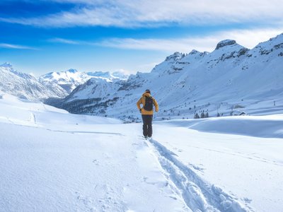
The "Zornive" route starts at the Espace Loisirs Mont-Noble and ends at Restaurant la Dzorniva on the Nax Télé Mont-Noble ski area.
Location
- Country CH
- State/Region Valais
- City 1973 Nax
- Latitude 46.231207
- Longitude 7.443149
Photos
Community Photos
Photos shared by community members
No community photos yet. Be the first to share!
Login to upload photosNo photos available for this track.
Additional Information
Parking: Espace Loisirs Mont-Noble
Access: Espace Loisirs Mont-Noble in the village of Nax
Safety: Fully marked route.
Source
View Original SourceContact Information
Tourism for the Mont-Noble and Nax plateau
Contact Details
-
Address Place du Village
1973 Nax
CH -
Phone +41 27 203 17 38
-
Email nax-region@mont-noble.ch
-
Website Visit Website
Elevation Profile
Loading elevation data...
Track Conditions
No condition reports yet. Be the first to report!