Orion
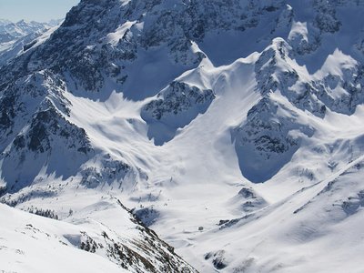
Chamrousse, Isère, FR
Min Elevation
1576m
Max Elevation
1899m
Elevation Gain
400m
Elevation Loss
32m
Distance
2.5 km
Est. Time
1h30
About this Track
Marked ski touring route located in Chamrousse, offering a secured path through the forest to reach the Croix de Chamrousse. Ideal for beginners or regular training.
Location
- Country FR
- State/Region Isère
- City 38410 Chamrousse
- Latitude 44.241760
- Longitude 6.608430
Photos
Community Photos
Photos shared by community members
No community photos yet. Be the first to share!
Login to upload photosNo photos available for this track.
Additional Information
Parking: Roche Béranger parking (Chamrousse 1750)
Access: Start from the Roche Béranger snow front
Safety: Marked and secured route during resort opening hours. Consult the avalanche bulletin.
Source
View Original SourceContact Information
Chamrousse Tourisme
Auvergne-Rhône-AlpesOffice of Tourism for the Chamrousse ski resort, near Grenoble
Contact Details
-
Address 42 place de Belledonne
38410 Chamrousse
FR -
Phone +33 4 76 89 92 65
-
Email info@chamrousse.com
-
Website Visit Website
Elevation Profile
Loading elevation data...
Track Conditions
No condition reports yet. Be the first to report!