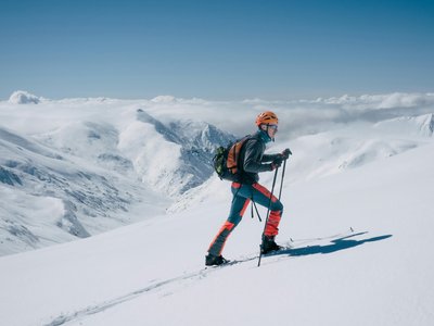
Ram's Track
Montgenèvre, Hautes-Alpes, FR
Min Elevation
1852m
Max Elevation
2128m
Elevation Gain
508m
Elevation Loss
1m
Distance
-
Est. Time
3h
About this Track
On the south face of the domain, start from the Chalvet gondola base station to enter the pine forest. Follow the markings to the mountain restaurant. Bypass it to the left, still in the woods near the old Bélier ski lift. At the top of the hill at point 2368m, breathtaking view of Briançon and the Durance valley.
Location
- Country FR
- State/Region Hautes-Alpes
- City 05100 Montgenèvre
- Latitude 44.932856
- Longitude 6.726818
Photos
Community Photos
Photos shared by community members
No community photos yet. Be the first to share!
Login to upload photosNo photos available for this track.
Additional Information
Parking: None
Access: Departure on the left of the Chalvet Gondola.
Safety: Marked but unsecured routes. Check opening status (Avalanche risk). Consult the BERA.
Source
View Original SourceContact Information
Contact Details
-
Address Hameau de l'Obélisque
05100 Montgenèvre
FR -
Phone +33 (0)4 92 21 90 46
-
Email info@esf-montgenevre.com
-
Website Visit Website
Elevation Profile
Loading elevation data...
Track Conditions
No condition reports yet. Be the first to report!